Your Qlik Sense ® and QlikView ® dashboards deserve the best
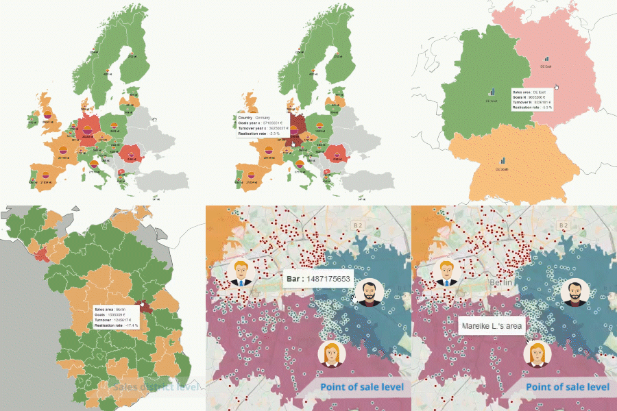
Add maps to your Qlik ® applications and get an overview of your data. By adding geographic analysis, you view your data in its actual context and make the appropriate decision for each situation. The visual nature of maps helps you better communicate your analyses and convey information at a glance.
Experts at your service
Put your trust in Articque, the recognized expert in cartography since 1989
Qlik Partner
Articque was elected Technology partner of the year at Qonnections.
Make the best decisions thanks to location analytics
Maps allow you to observe strategic facts and analyze correlations that cannot be detected through mere charts and data tables. With Articque MAP, you can create maps which display your data in its actual geographical context and make optimal decisions in minimal time.
Location has an impact on numerous strategic decisions:
- The opening of a new store,
- The calculation of delivery costs,
- The choice of a service provider,
- The reorganization of a sales team…
Articque MAP is the lightest and the most comprehensive mapping extension on the market. It blends naturally into your Qlik applications. Request a demo.
Relevant and attractive cartographic representations
Overlay your KPI and play with the cartographic features available in Articque MAP in order to compare your data and identify previously undetected correlations.
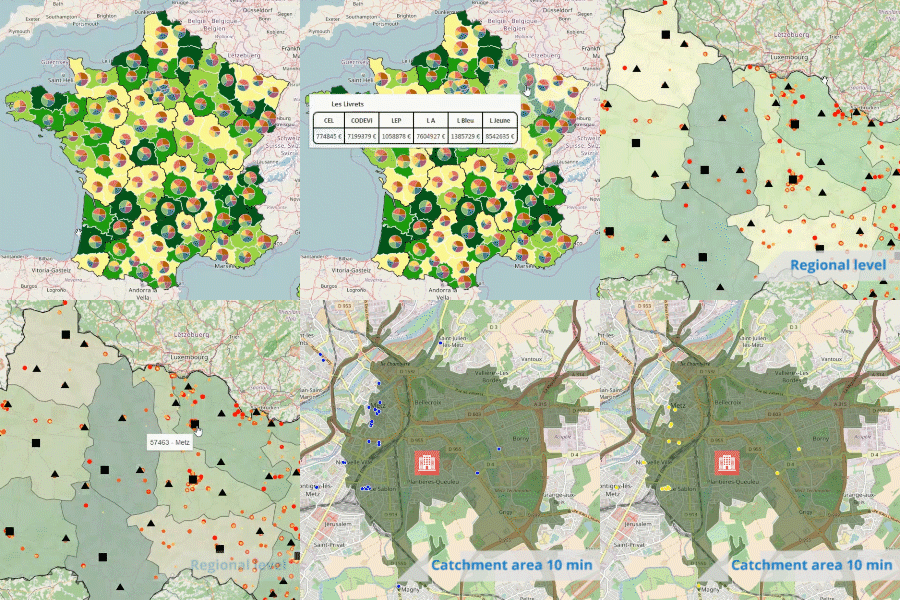
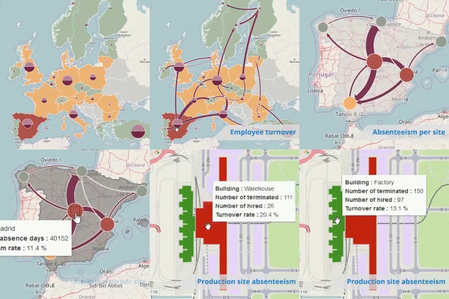
Heat maps, proportional symbols, isochrons, flows, personalized icons, bar charts… This is only a glimpse into the cartographic representations available to bring your data to light!
Rise to any business challenge with Articque MAP
Discover dynamic maps with Articque MAP
You will be surprised by Articque MAP’s potential: freely browse various maps and try out our mapping features in our freely-accessed applications
Easily add maps to Qlik Sense ® et QlikView ®
We prepared a video to help you discover how simple Articque MAP is to use.
The extension seamlessly blends into your dashboards. The maps only take a few clicks to configure, and there is no need to be an expert in cartography!
They are using Articque MAP:
The SNCF (French National Railway Company) uses maps to manage 2 500 Railway Security Officers.
Carrefour Property maps its shopping malls with Articque MAP.
The SDIS (Departmental Fire and Emergency Services) manage their interventions and carry out prospective analyses with Articque MAP.
Choose your solution :
Articque MAP for Qlik
Desktop License
Free
For one Qlik Desktop ® user
Installed on a computer
Articque MAP for Qlik
Server License
3 990€ excluding tax
For an unlimited number of users
Yearly subscription / server
Spatial analysis with Articque:
Base maps
Articque offers a large range of base maps in all standard formats on the market (.shp, .tab, .kml, .geoJSON…). Our cartographers create all our base maps and can meet your customization needs.
Geocoding
Prepare your data for spatial analysis. Geolocate your addresses thanks to our geocoding solution for France and for the world. This is essential to precisely locate your clients, competition, stores…
Isochrons and access areas
Calculate isochrons in real time on your maps to represent access areas around your locations (in time or distance). This is essential to represent your catchment area, identify cannibalization areas, calculate charging zones…
External data
Enrich your business analyses with external data. Company register database, socio-demographic database, thematic databases… This information is essential to make rational decisions. Articque offers these ready-to-use databases for France.
Customize your maps
Do you need to reorganize your sales districts or merge territories? Articque offers intuitive and innovative tools to create and adjust your own geographic breakdowns.
Mapping objects
A trailblazer in this field, Articque created the Mapping of Things, which consists in displaying data on any image: a floor plan, objects, store shelves, processes… Push back the limits of geographic analysis and truly make the most of your data at long last!
Do you want to learn more about Articque MAP?
Do you have a question about Articque MAP, or would you like a personalized demo?
Contact us: