Scientifically accurate
The GeoCampus program is groundbreaking and fascinating. It allows researchers and students to have free access to C&D quickly for the current academic year.
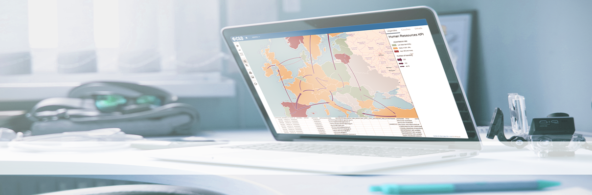
This software includes simple modules which make a cartographer’s task much easier by integrating a lot of statistical and data analysis functions (regression, principal component analysis, correspondence analysis, hierarchical clustering…).
Enjoy free access to our powerful statistical mapping solutions!
Make the most of C&D Online, a mapping software both easy to use and scientifically accurate!
Our software is scientifically accurate because Jerôme Barthelemy, its co-author, collaborated closely with the GIP-RECLUS. Based in Montpellier, this Public Interest Group brought together all of European geographers! It was directed by Hervé Théry, inspired by Jacques Bertin and Roger Brunet’s works. As a consequence, our software is the product of European and French research.
But C&D was also created to be easy to use! It was thought up by Georges-Antoine Strauch, who founded Articque, and it follows his main principles: it aims to be both innovative and efficient. The fact that the software is easy to use will save you a lot of time.
The GeoCampus offer is intended for anyone who belongs to the academic world and wishes to use professional decisional and statistical mapping solutions: both students and teachers can have access to the program!
The program gives students an opportunity to become familiar with mapping intelligence tools recognized on the market, which will give them a real advantage in their job applications and future ventures.
Discover the offer we created for you :
Please note that free access to our solutions is only available for learning or teaching purposes.
It cannot be used for commercial, professional or otherwise profitable purposes.


